Home / Palo Alto
Palo Alto · Neighborhood new-build guide
Tear down, rebuild, and know your lot first
Every Palo Alto neighborhood with its parcels, zoning rules and the new homes actually permitted there in the last five years, plus a step-by-step guide to the city's new-home permit process. Every number links to the city source it came from.
20,945parcels in the city layer
259new-home permits, Nov 19, 2021 to Nov 16, 2026
$522kmedian permit valuation
2,720 sfmedian new-home size on permits
72%include an ADU or JADU
72%are two-story
PA-01 · Address lookup
Find the rules for your lot
Runs in your browser on the city parcel layer (20,000+ lots). Concept screening only, not a zoning determination.
Or pick a neighborhood
- Barron Park33 new
- Charleston Meadows8 new
- Charleston Terrace10 new
- College Terrace8 new
- Community Center10 new
- Crescent Park21 new
- Downtown North2 new
- Duveneck/St Francis13 new
- Evergreen Park2 new
- Fairmeadow3 new
- Green Acres6 new
- Greenmeadow3 new
- Leland Manor/Garland8 new
- Midtown/Midtown West57 new
- Oak Creek0 new
- Old Palo Alto25 new
- Palo Alto Hills0 new
- Palo Verde36 new
- Professorville1 new
- Research Park1 new
- Southgate4 new
- University Park0 new
- University South3 new
- Ventura5 new
PA-02 · Neighborhoods
24 neighborhoods, ranked by new homes built
Neighborhood boundaries from the city's GIS[4]; new-home permits from the city's open-data permit export[5], Nov 19, 2021 to Nov 16, 2026.
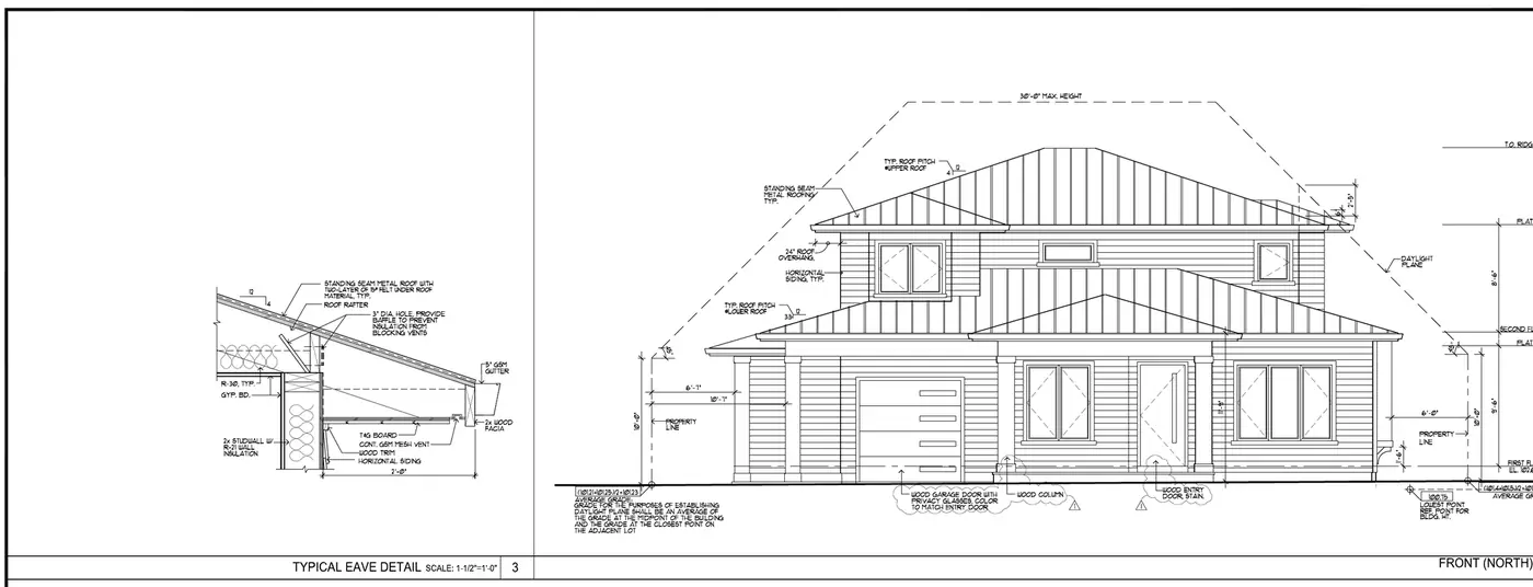
Midtown/Midtown West
57new homes, 5 yr2,886res. lots6,672median lot sf
Most common: Two-story home, attached ADU
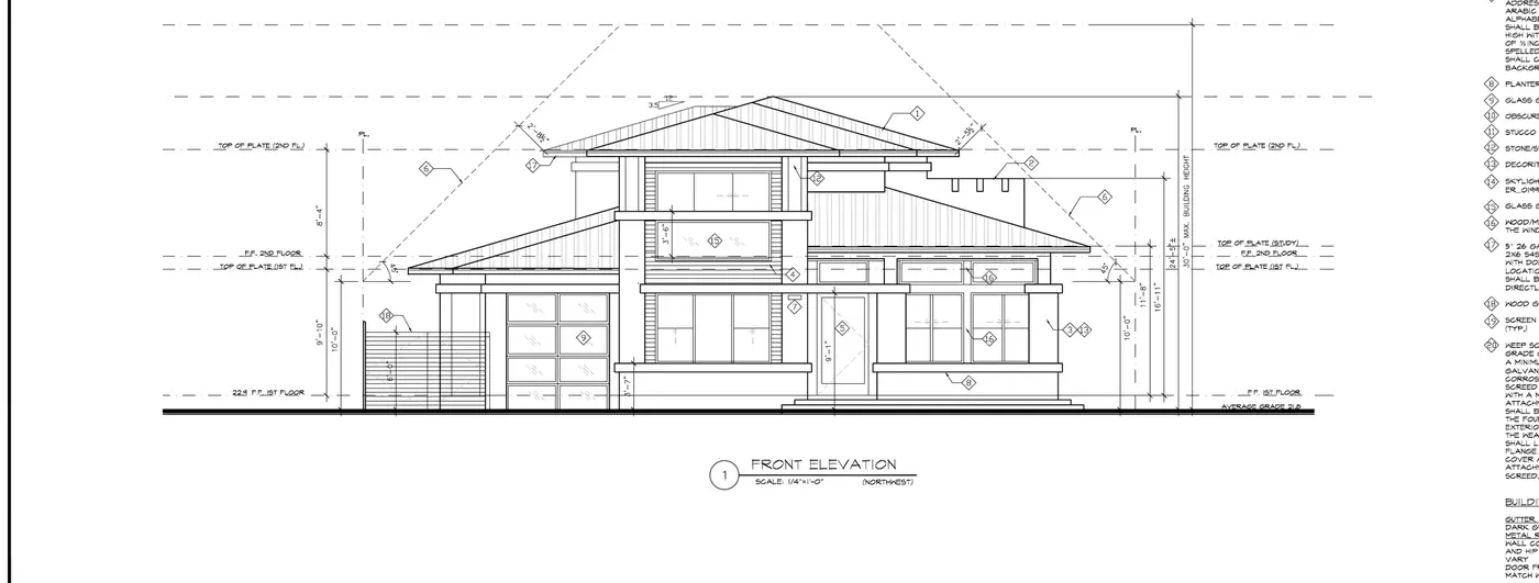
Palo Verde
36new homes, 5 yr1,789res. lots6,856median lot sf
Most common: Two-story home, attached ADU
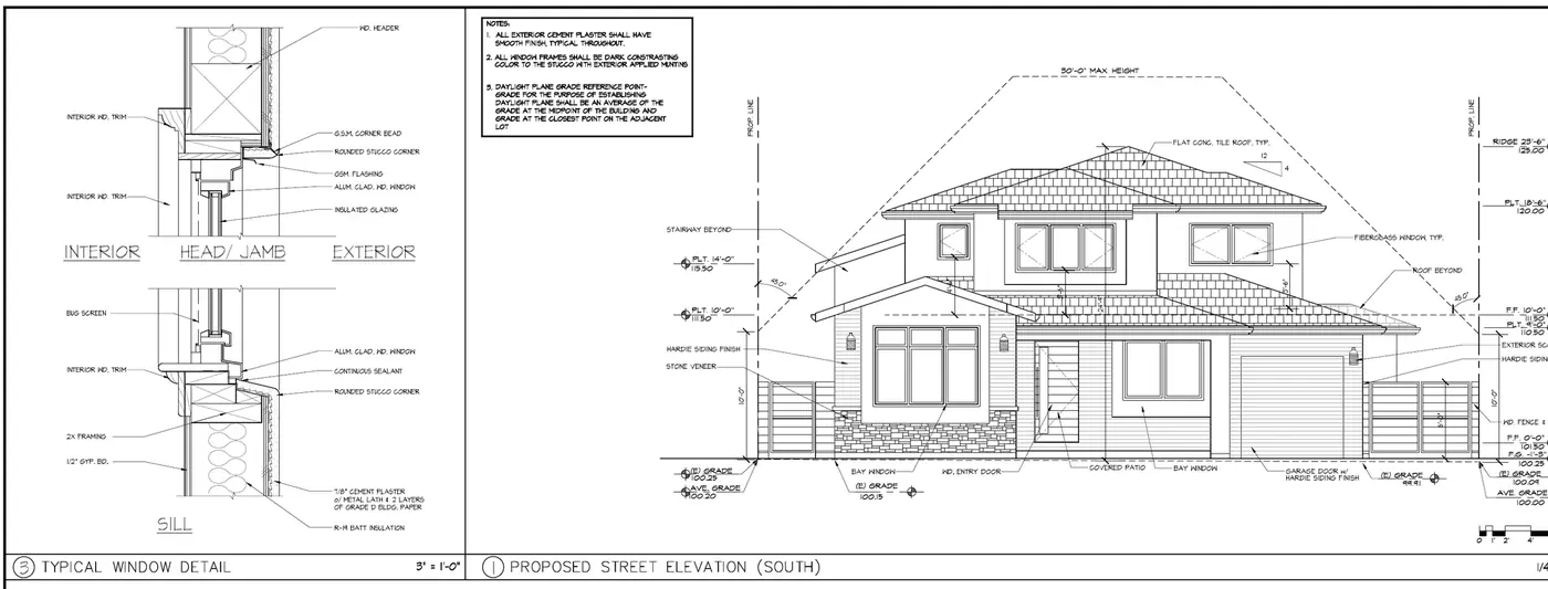
Barron Park
33new homes, 5 yr1,248res. lots7,592median lot sf
Most common: Two-story home, no ADU
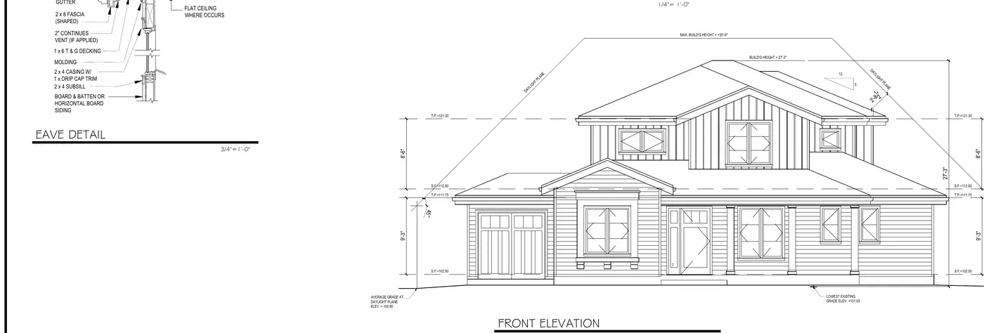
Old Palo Alto
25new homes, 5 yr1,307res. lots7,500median lot sf
Most common: Two-story home, attached ADU
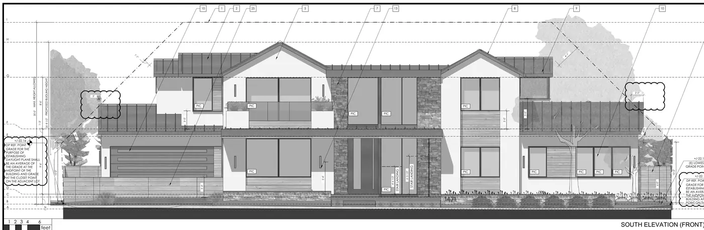
Crescent Park
21new homes, 5 yr1,265res. lots7,935median lot sf
Most common: Two-story home, attached ADU
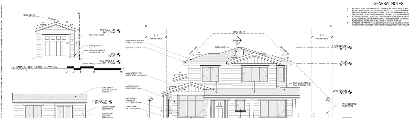
Duveneck/St Francis
13new homes, 5 yr966res. lots6,845median lot sf
Most common: Two-story home, attached ADU
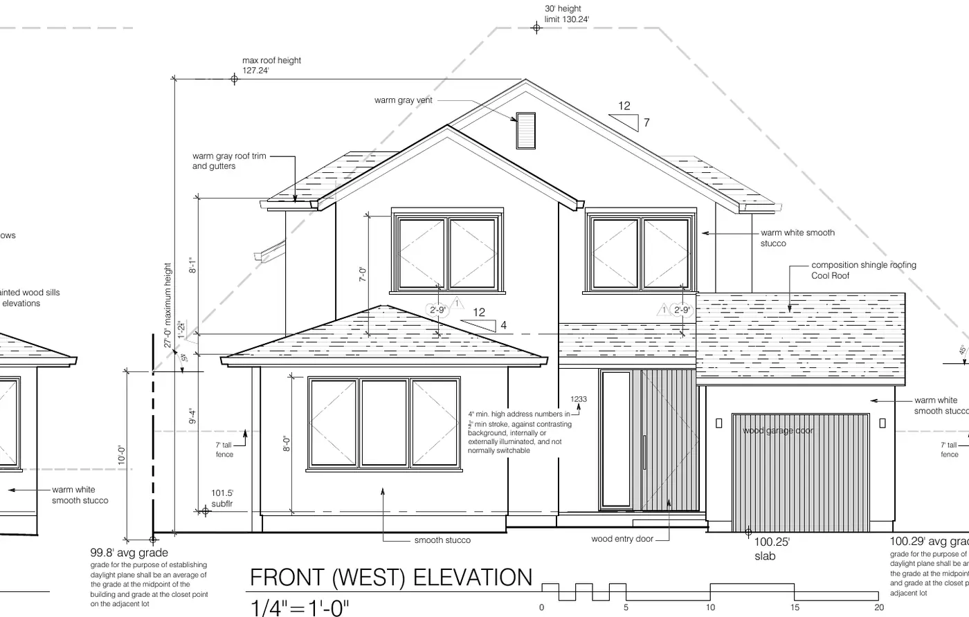
Community Center
10new homes, 5 yr721res. lots6,978median lot sf
Most common: Two-story home, JADU
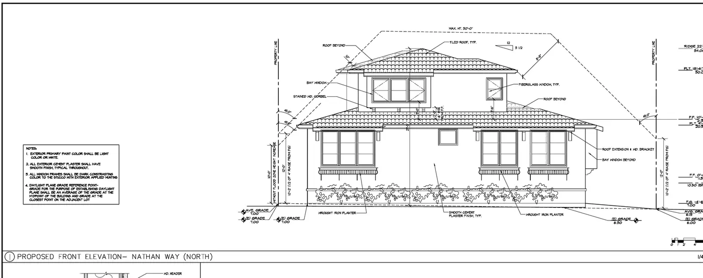
Charleston Terrace
10new homes, 5 yr658res. lots7,000median lot sf
Most common: Two-story home, attached ADU
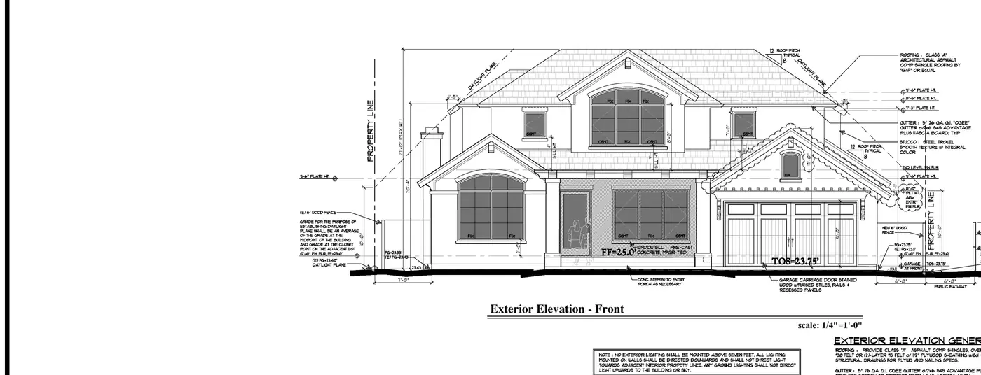
Leland Manor/Garland
8new homes, 5 yr710res. lots7,547median lot sf
Most common: Two-story home, attached ADU + JADU
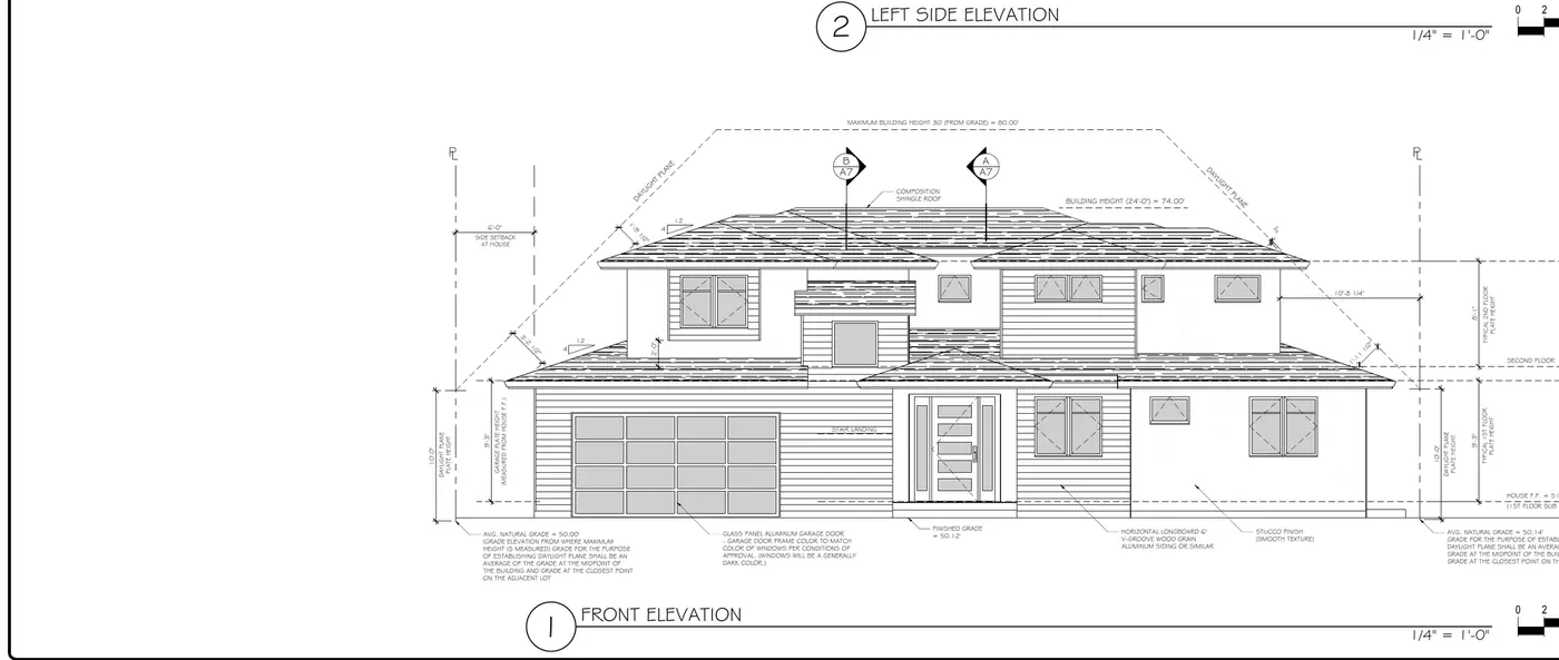
Charleston Meadows
8new homes, 5 yr608res. lots6,590median lot sf
Most common: One-story home, attached ADU
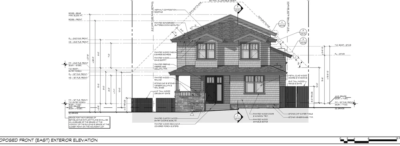
College Terrace
8new homes, 5 yr581res. lots5,750median lot sf
Most common: Two-story home, no ADU
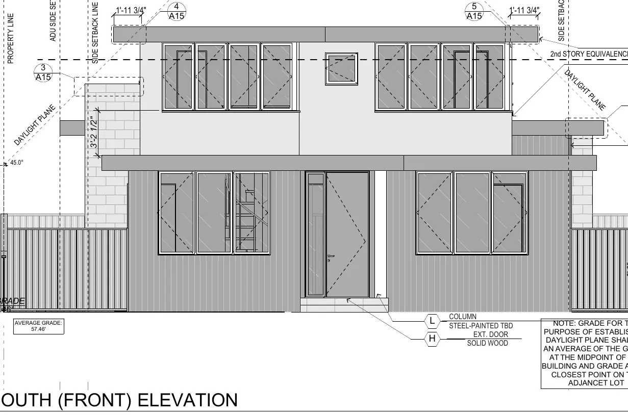
Green Acres
6new homes, 5 yr573res. lots8,050median lot sf
Most common: Two-story home, attached ADU + JADU, basement
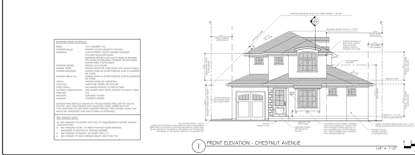
Ventura
5new homes, 5 yr470res. lots6,000median lot sf
Most common: Two-story home, attached ADU
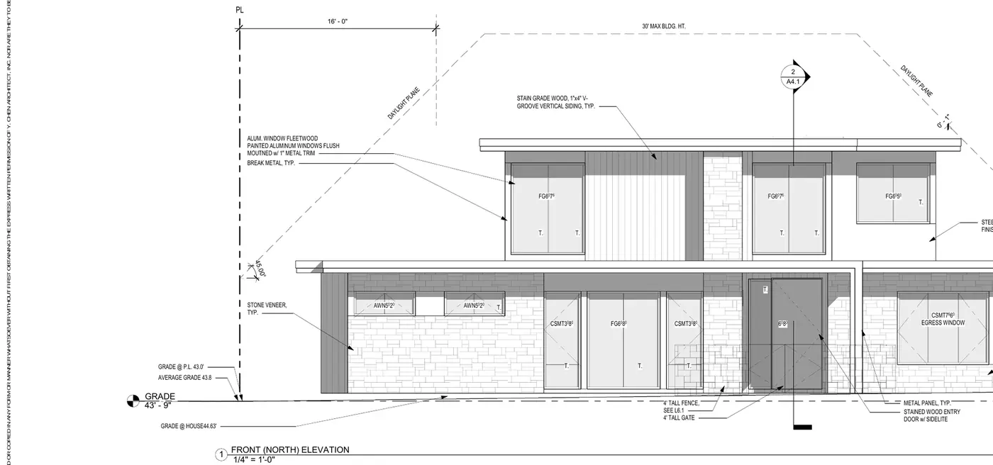
Southgate
4new homes, 5 yr222res. lots6,300median lot sf
Most common: Two-story home, attached ADU
no public elevation
Greenmeadow
3new homes, 5 yr718res. lots7,602median lot sf
Most common: One-story home, no ADU
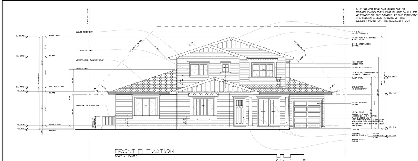
University South
3new homes, 5 yr461res. lots5,625median lot sf
Most common: Two-story home, attached ADU, basement
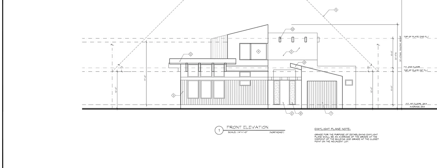
Fairmeadow
3new homes, 5 yr300res. lots6,197median lot sf
Most common: One-story home, attached ADU
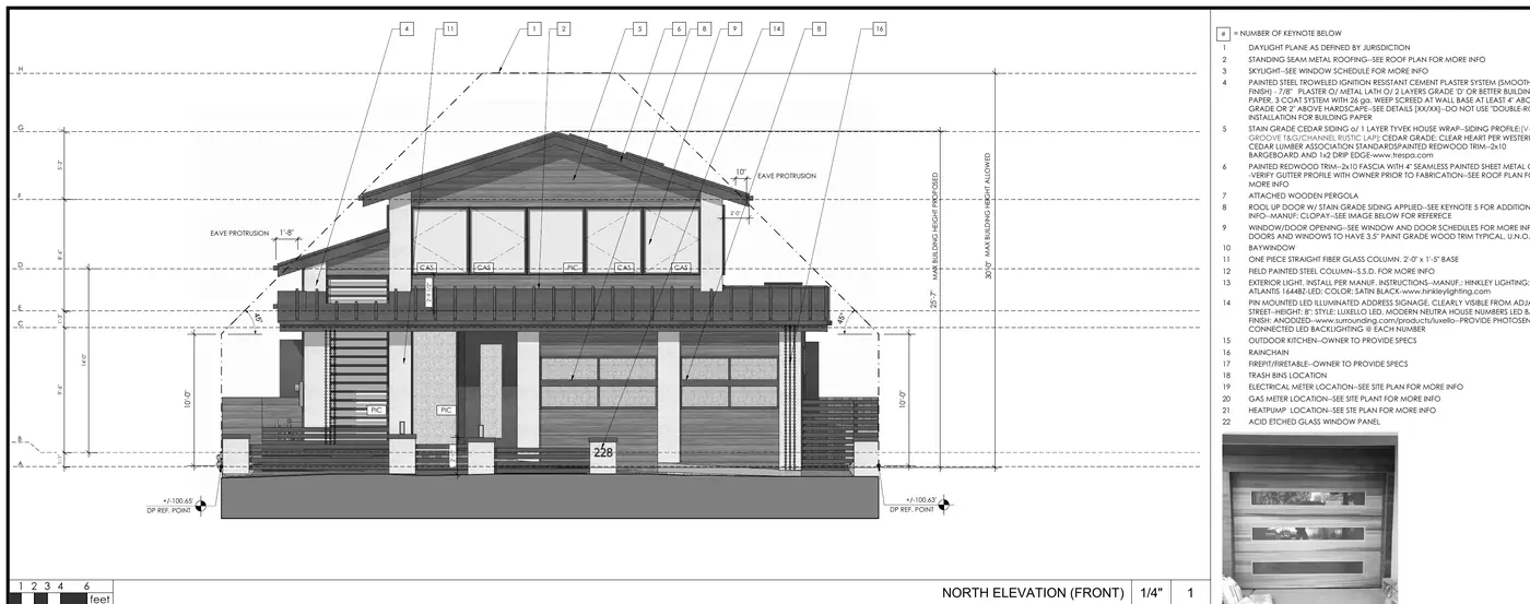
Downtown North
2new homes, 5 yr603res. lots5,000median lot sf
Most common: Two-story home, attached ADU
no public elevation
Evergreen Park
2new homes, 5 yr539res. lots5,000median lot sf
Most common: Two-story home, attached ADU
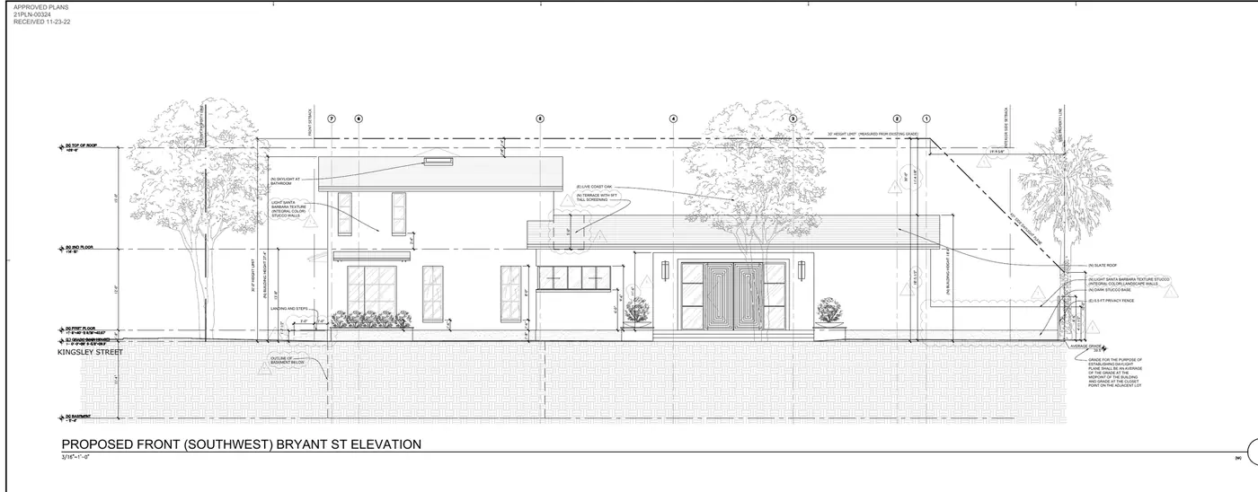
Professorville
1new homes, 5 yr185res. lots7,700median lot sf
Most common: Two-story home, no ADU, basement
no public elevation
Research Park
1new homes, 5 yr124res. lots43,398median lot sf
Most common: Stories not stated home, JADU, basement
no public elevation
University Park
0new homes, 5 yr295res. lots1,534median lot sf
Most common: No new-home permits in 5 years
no public elevation
Palo Alto Hills
0new homes, 5 yr74res. lots42,634median lot sf
Most common: No new-home permits in 5 years
no public elevation
Oak Creek
0new homes, 5 yr5res. lots650,786median lot sf
Most common: No new-home permits in 5 years
PA-03 · Citywide designs
What Palo Alto is building
The five most common new-home types across the city, from 259 new single-family home permits[5].
| # | Design type | Homes | Share | Median size | Median valuation |
|---|---|---|---|---|---|
| 01 | Two-story home, attached ADU | 72 | 28% | 2,778 sf | $562k |
| 02 | Two-story home, no ADU | 31 | 12% | 2,561 sf | $408k |
| 03 | Two-story home, JADU | 25 | 10% | 2,434 sf | $488k |
| 04 | One-story home, no ADU | 22 | 8% | 2,592 sf | $435k |
| 05 | Two-story home, detached ADU | 20 | 8% | 3,166 sf | $435k |
New-home permits by year opened
PA-04 · Permits
The new-home permit path in six steps
Check the lot
zone, overlays, flood, historic
Survey, trees, history
boundary survey, T-1 arborist sheet, 45-year historic check
Two-story review
objective standards or Individual Review
Deconstruction permit
demolition is not allowed in Palo Alto
Building permit
plan check, Public Works, utilities, fees
Inspections and final
from setbacks survey to occupancy
PA-05 · Method
How this guide is built
- Parcels: the city's AssessorsParcels layer, joined to neighborhood and FEMA flood layers[1,4,6]. Lot size is the city LOTSIZE field where present, otherwise GIS polygon area.
- Rules: Palo Alto Municipal Code Title 18. R-1 standards are from the official online code[2]; RE, R-2, RMD and RM tables were read from a third-party mirror and are flagged verify with the city[3,7].
- Designs: building permits whose description is a new single-family home and whose parcel had a whole-house demolition or deconstruction permit, or whose description mentions demolition[5]; grouped by stories and ADU type; examples and front elevations from Individual Review records[8].
- We never invent a rule, fee, timeline, testimonial or license. Missing figures are marked not published.
Sources
- City of Palo Alto ArcGIS: AssessorsParcels layer (zone, lot size, city-computed FAR, coverage, setbacks, height, flood and historic flags)
- Palo Alto Municipal Code Ch. 18.12 (R-1 district), incl. 18.12.040 Table 2 and 18.12.060 parking
- PAMC 18.10.040 RE, R-2 and RMD development standards (Table 2), via GoCodebook mirror third-party mirror: verify with the city
- City of Palo Alto ArcGIS: Neighbourhood boundaries layer
- City of Palo Alto Open Data: Palo Alto Development Center Permits (Building module export, Dec 2017 to Nov 16, 2026)
- City of Palo Alto ArcGIS: 100-Year Flood Map layer (FEMA zones)
- PAMC 18.13.040 RM-20/30/40 development standards (Table 2), via GoCodebook mirror third-party mirror: verify with the city
- City of Palo Alto Accela Citizen Access (planning records and Individual Review plan sets)